City Profile
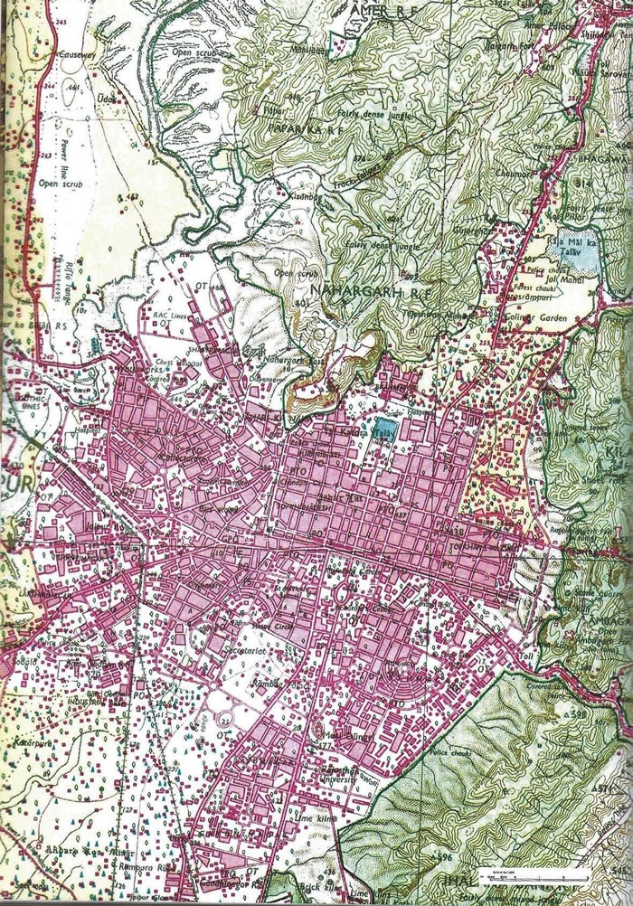
Jaipur is located amidst the Aravali hill ranges at an altitude of approximately 430 meters above mean sea level. The city is part of the Jaipur district situated in northeastern part of Rajasthan. The city was founded in 1727 during the reign of Sawai Jai Singh II of the Kachwaha dynasty. The city is located in the semi-arid state of Rajasthan with high temperatures in the month of May and June with a mean temperature of 36 degree Celsius.

Jaipur was conceived and developed in a single phase with a grid-iron model1 inspired from the Prastara plan of the Vastu Shastra, a treatise of traditional Hindu architecture, that later became a trendsetter for many 19th Century CE towns of India such as Sawai Madhopur. The city is divided into nine rectangular sectors with straight roads intersecting only at right angles and is enclosed within a massive wall to protect the city in a total area of 710 +hectares. The wall encircles the city and 9 city gates are present to provide the access to the city from various directions.
Envisaged as a trade capital, the main avenues of the city were designed as markets, which remain characteristic bazaars of the city to date. Chaupar, or designed large public squares at the intersection of roads, is another feature that is distinct to Jaipur as are its single to multicourt Havelis and haveli temples. Besides exemplary planning, its iconic monuments such as the Govind Dev temple, City Palace, Jantar Mantar and Hawa Mahal excel in the artistic and architectural craftsmanship of the period.
Located on important trade routes, Jaipur has been an important and vibrant centre for trade and commerce. It has become the home of large numbers of artisans, craftsmen and merchants from distant parts of India. The city has a rich heritage of craft production with Sawai Jai Singh and later rulers inviting artisans to settle in the city. There are potters, utensil makers, stone carvers, building craftsmen and builders, leather workers and tanners, jewellers, ivory carvers, brassware manufacturers, enamellers; weavers, dyers and embroiderers, settled in neighbourhoods occupied by families pursuing similar trade or craft.
Geographic co-ordinates– N 26° 55’ 27.4” E 75° 49’ 18.7” (Central coordinates of World Heritage Site of Jantar Mantar)
Population (as of 2011 census)– 30.73 Lac + 10% Floating
